Restoring the maritime character of Mont-Saint-Michel
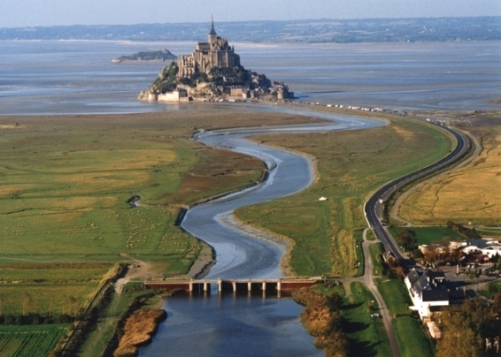
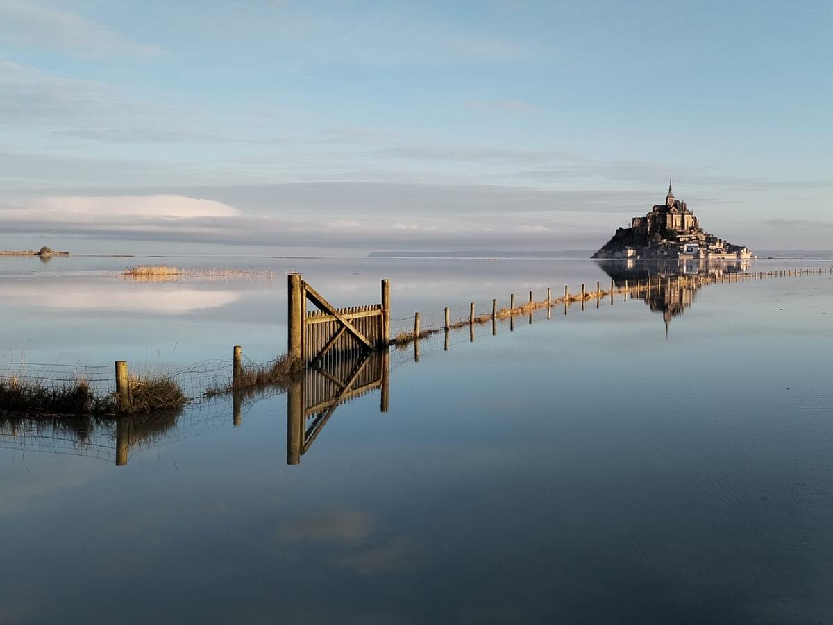
Defining and finalising development works aiming to maintain the maritime character of Mont-Saint-Michel (environment consisting of sand, sandy mud known as 'tangue', and water).
Context
Restoration of the maritime character of Mont-Saint-Michel - Client: Ministère de l’Environnement - Direction de l’Eau (France) - Scale: 1:350 horizontal and 1:90 vertical (distortion of 3.9)

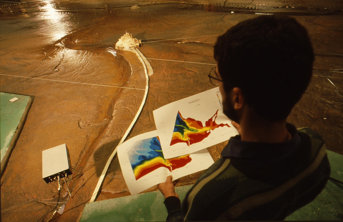
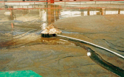
In 1995, the French government together with various local authorities instigated the project to restore the maritime character of Mont-Saint-Michel. A series of hydrosedimentary studies were conducted between 1995 and 1999 to investigate solutions for doing so while preserving the nature and landscape of the bay. Several modelling studies, both numerical and physical, were performed to this end. They included a movable-bed physical sedimentological model of the inner bay area around the Mont, which was built at Artelia’s Laboratory.
The model reproduced:
- for the hydraulic conditions: sea level variations, tidal currents, wave motion, flow rates of the rivers Sée, Sélune and Couesnon, their tidal prisms, and flushing operations at La Caserne dam
- for the sedimentological conditions: the sediment materials in the inner bay: fine sand and 'tangue', and sediment carried in from offshore.

Key features of the development tested
- Demolishing the causeway and replacing it with a bridge in order to re-establish the circulation of currents around the mount
- Managing La Caserne dam to produce flushing effects
- Building a flow-dividing weir to maintain the channels on either side of the mount in the long term.


