Port of Saint-Louis (Senegal)
Development and accessibility of the future Saint-Louis port
Client: Organisation pour la Mise en Valeur du fleuve Sénégal
Scales: 1/600 (Horizontal) - 1/100 (Vertical)
Background
The River Senegal has naturally opened up a new entrance channel near Saint Louis du Sénégal in an area subject to intense longshore drift. This study aimed to:
- determine the medium- and long-term effects of breakwaters built to maintain this channel on changes in the shoreline,
- evaluate the risks of sedimentation occurring in the access channel to the River Senegal and in the phosphate export terminal turning and berthing areas,
- define accompanying measures (maintenance dredging, artificial transfer of sand, etc.) to ensure the balance of the shoreline downstream of the project (in relation to longshore drift).
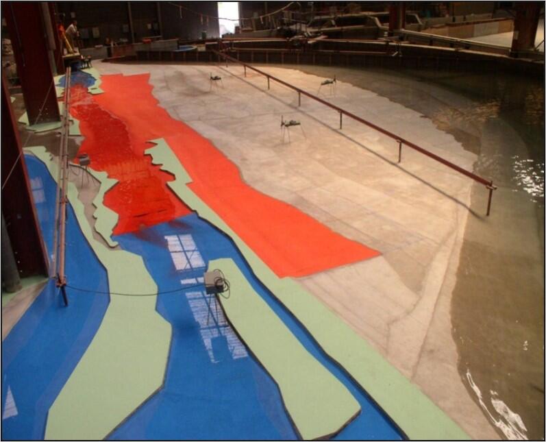
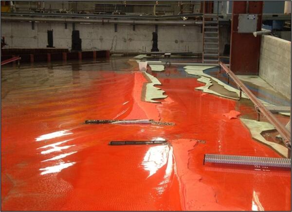
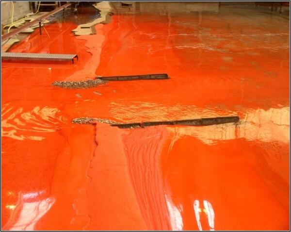
Physical modelling
The movable bed physical model was built at a scale of 1/600 in plan and 1/100 in height; with a surface area of 690 m², the model made it possible to represent:
- the "Langue de Barbarie" over a 15 km stretch, with seabeds down to -17.5 m CM offshore,
- the entire estuary.
To give a few orders of magnitude, with the scales selected, the 15 km of coastline studied represented 25 m on the model; the Langue de Barbarie was on average 0.5 m wide (300 m in reality); a tide was reproduced in 12.5 minutes on the model and a flood flow of around 2000 m3/s by a flow close to 3.5 l/s.
Given the scales and similarity applied, one year's average evolution in nature corresponded to around 3 hours of model operation.